Mt. Langley – September 2017

After the trip to Sequoia NP in August, I have been wanting to get back up there and climb Mt. Langley. The GPS said 14,005 ft at the top, but I think the official measurement is a bit higher. It was hard at the top….one foot after the other.
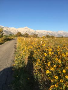
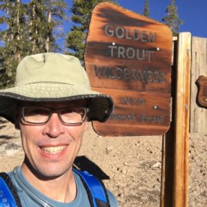
Headed up to Horseshoe Meadows Road both sides of the road had a field of sunflowers.
I was at this same spot a month earlier. Beginning of a long day.


The route was to head up toward Cottonwood Lakes and then decide on whether to go New Army Pass or Old Army Pass. During our trip in August, we were unsure about heading up Old Army Pass since the trail was not visible. I opted for New Army Pass and began the slog up, up, up.
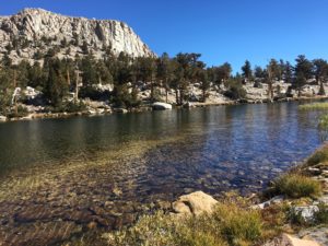
Lake on way to New Army Pass


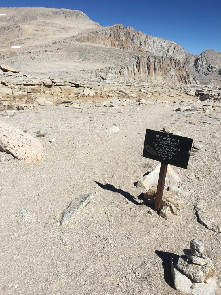
Top of New Army Pass. This is the boundary with Inyo NF and Sequioa NP. That is Mt. Langley in the distance.


I made good time to the pass, but was aware daylight isn’t unlimited. Had to get going. The trail up Mt. Langley is more of a path with big ass cairns.
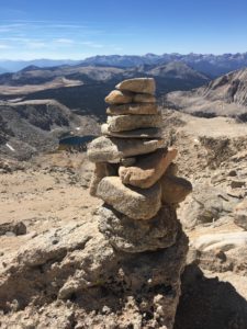
I am pretty tall and these are bigger than me
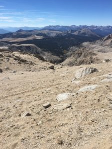
That is the Sierra Crest and Kern River canyon looking toward the west. Taken about 1/2 way up on Mt. Langley


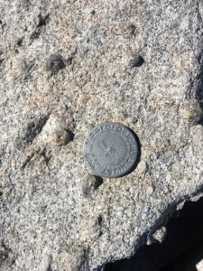
USGS marker at summit


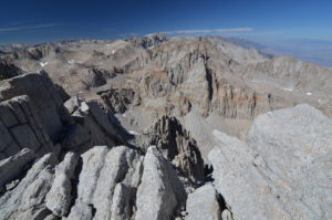
Looking north from summit of Mt. Langley


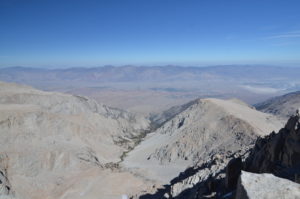
Looking east over Owens Valley and toward Nevada