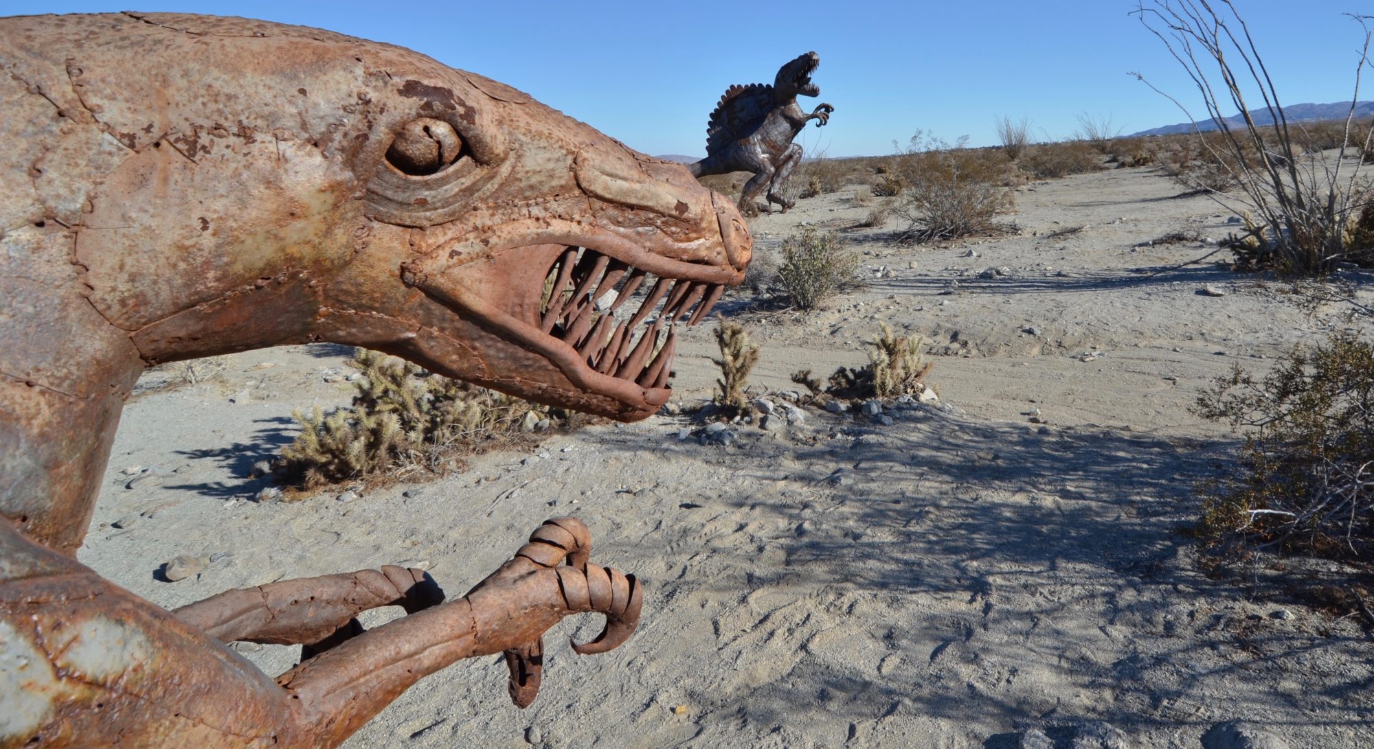
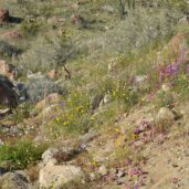
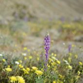
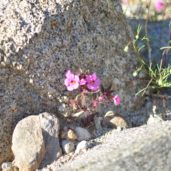
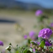
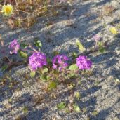
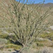
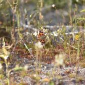
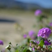
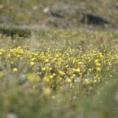
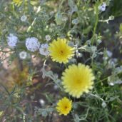
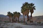
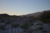
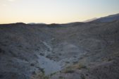
I was in the area of Borrego Springs so I thought it would be worthwhile to see the 2019 wildflower superbloom that is going on and get in some 4WD exploring. First stop was to head toward Coyote Canyon and see about heading into Collins Valley. As I passed the metal sculptures, there were signs of the flowers and lots of pink lady butterflies on their migration.

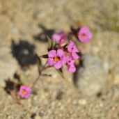
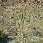
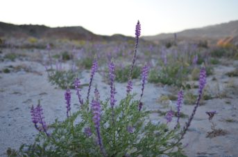
Once the pavement stops on DiGiorgio Rd, started to head up Coyote Canyon Rd and got to Alcoholic Pass before I have enough of the sea of humanity and decide to head over to the Borrego Badlands area off S22. Before leaving that area I documented some of the flowers. I don’t use the SLR camera that often so have to reacquaint myself with the settings and how to get it to focus.
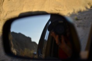
Made a quick stop at the Truckhaven Rocks point-of-interest and snap a photo of the map since the cell signal was intermittent and I couldn’t find the printed map that I thought was still in truck. This would turn out to be a very helpful photo later in evening.
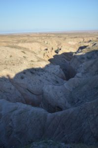
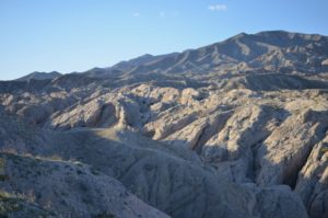
It is now about 5:30PM and I am so excited to go exploring in the badlands, that I tell myself sunset is quite a way off and head down Arroyo Salado toward 17 Palms.
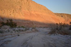
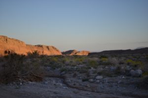
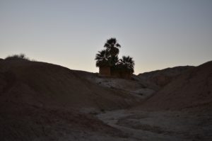
The map, as it turns out, is not exactly to scale so it was close to dusk when I made it to 17 Palms.
If you have ever been off-roading, there is always the thought lurking as to whether or not an obstacle will be encountered that will prove to be too much for the vehicle or driver’s skill. So far things were going pretty good so I thought “what the hell, let me look at the map and see if there is a different way back to the road”. With that thought in mind, I headed toward Tule Wash and looked for the Cut Across Trail. At each junction in the trail, I had to stop and consult the photo of the map that I took earlier. Eventually I got to Palo Verde Wash and headed back toward S22. There was some deep sand, but nothing Smoky couldn’t handle
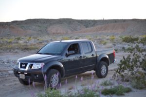
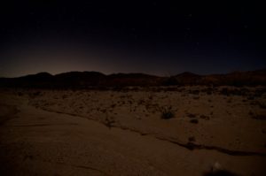
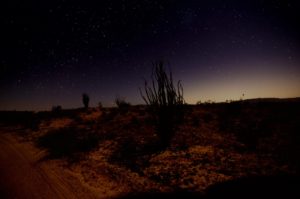
Somewhere along Palo Verde Wash I missed a junction and wound up on Short Wash. It was pretty cool view at night with the moon light bathing the Borrego Badlands. Lots of the night sky was visible. Along Short Wash, I stopped to get some longer exposure photos.

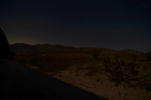
Map showed that Short Wash eventually goes to Fonts Wash, but it was already 9:00PM and I still had to drive home so took Thimble Trail back to S22. It climbed out of the badlands and before getting to road had a nice view toward the Salton Sea and the communities on the east side.
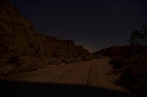
I drove the rest of way on Thimble Trail and got back to S22. It was about 12 mi route and took approximately 3.5 hours with time for photos.
There were a lot of spots that look good for camping. It feels so far away from the metropolis that is the rest of southern CA being out here. I can’t wait to go back.
