It has been on my mind to get back to Anza Borrego Desert State Park (ABDSP) to and continue to explore. This time I had my sights set on getting to Whale Peak and Diablo Peak over 2 days. Got an early start and headed toward S-2 and Blair Valley Rd.
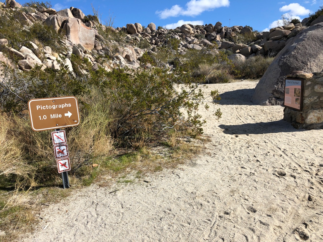
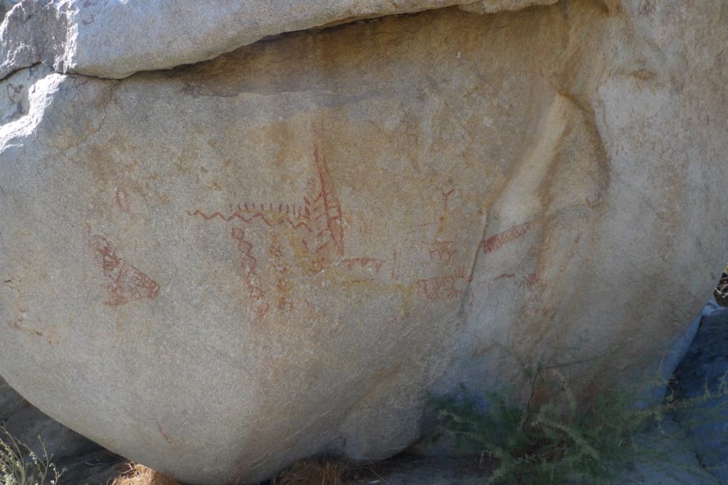
About 3 hours later I arrived at the Pictograph trailhead and got ready. In the wintertime, I am always aware of the shorter days and starting at 11am, was already thinking that I needed to get moving to not be descending in the dark.
At this point, I feel that a disclaimer is in order – do not try going to Whale Peak via this route without a map and knowledge of how to use it, understanding there may be some route finding involved, or generally don’t like an adventure. Getting hurt here would be no joke as help would be a long way off.
Now that that is out of the way we can get back to the story. Blair Valley Road is pretty tame as roads in ABSDP so I was expecting an onslaught of people (like everywhere else in southern CA) but was surprised only a few other cars were at the trailhead.
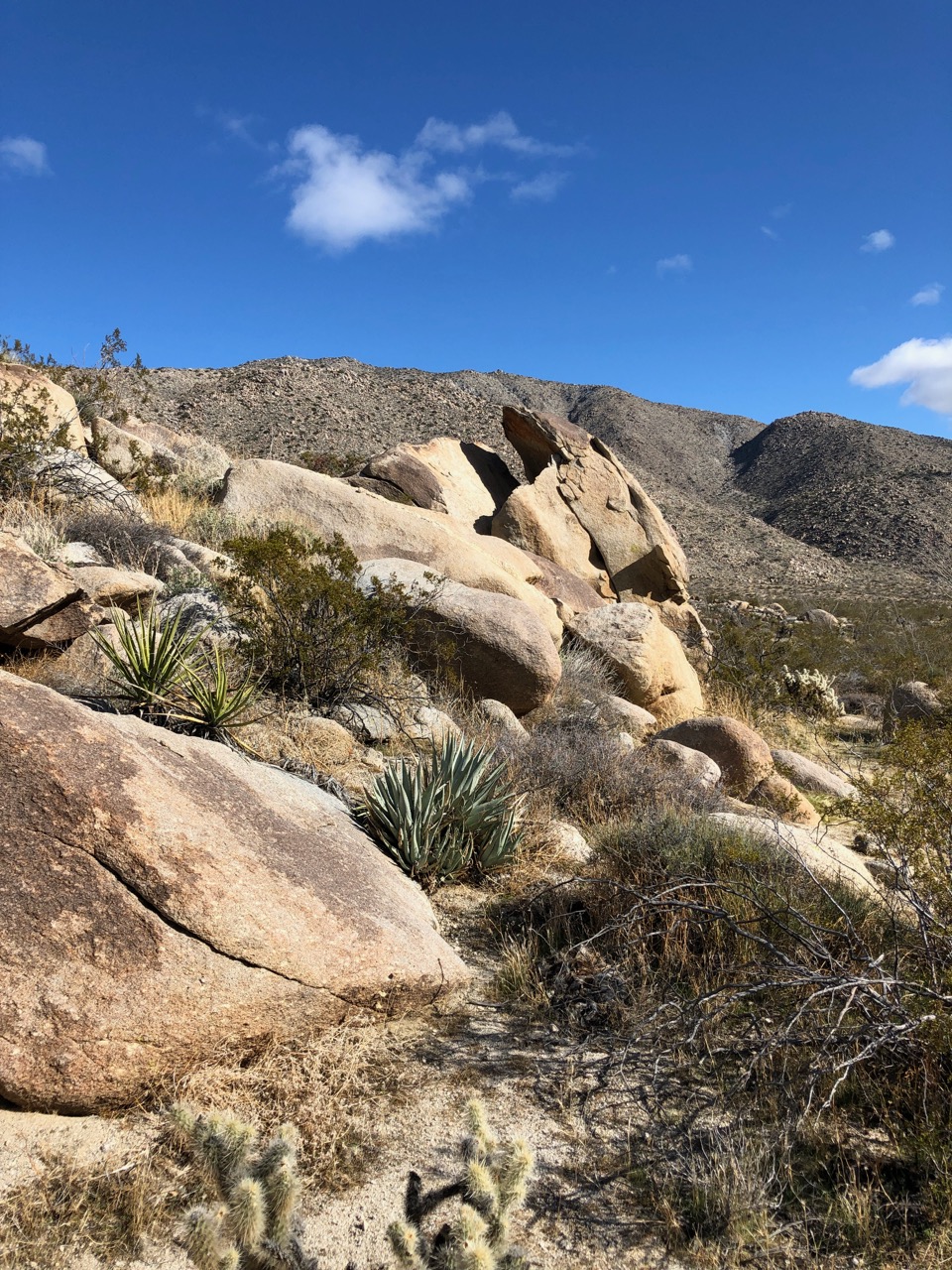
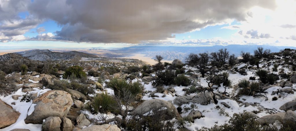
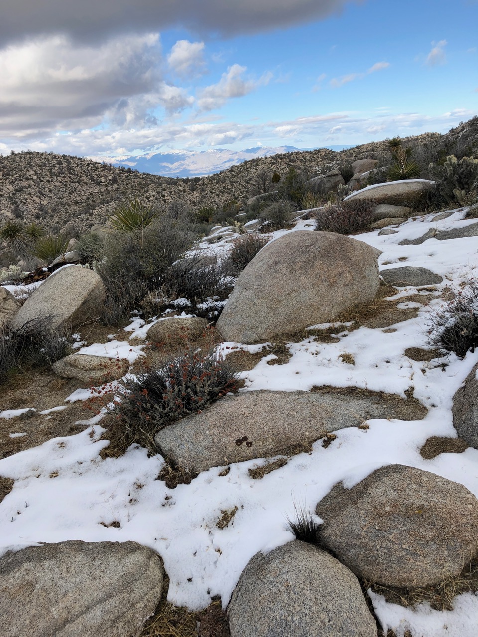
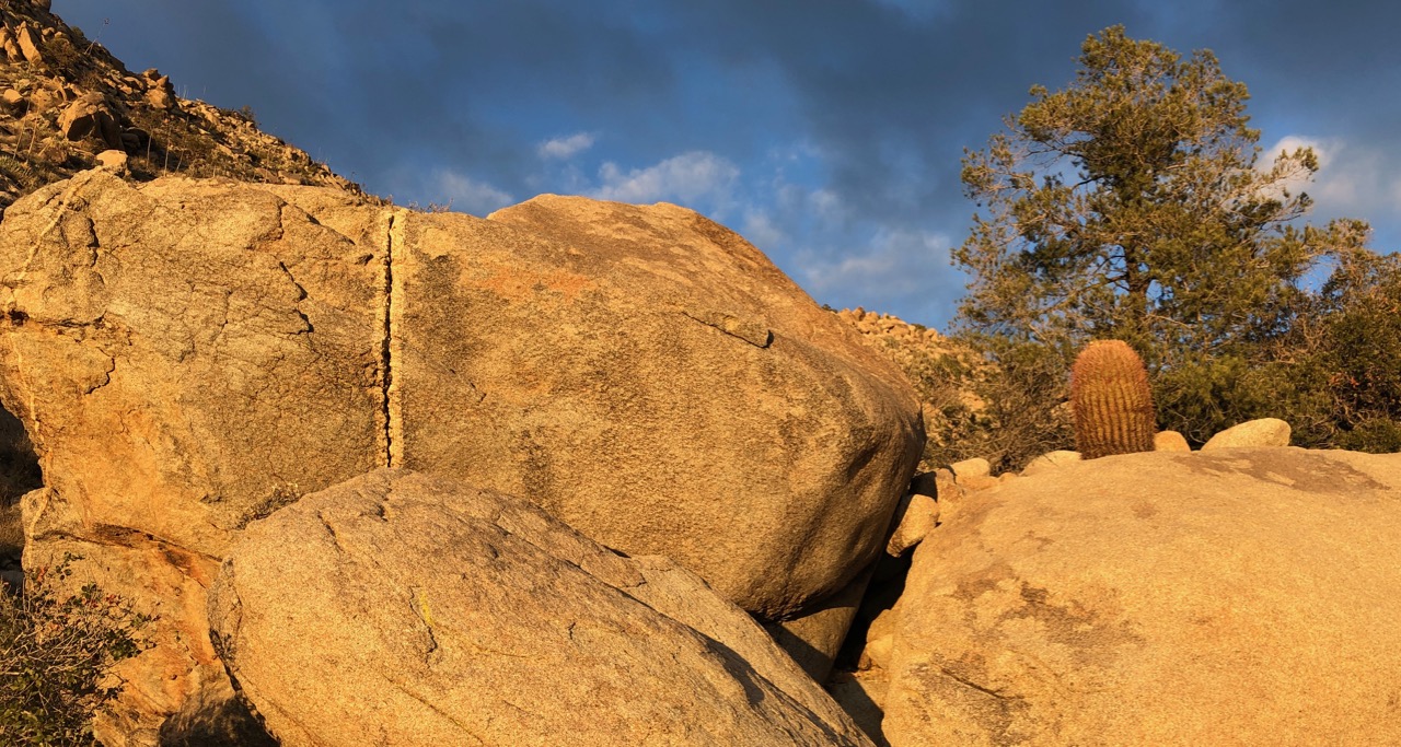
I wasn’t entirely sure where to go and didn’t want to get the book from my pack so decided to head toward a break in the rocks. It turned out to be quite a view into Bisanga Alta Wash
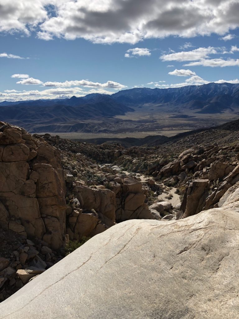
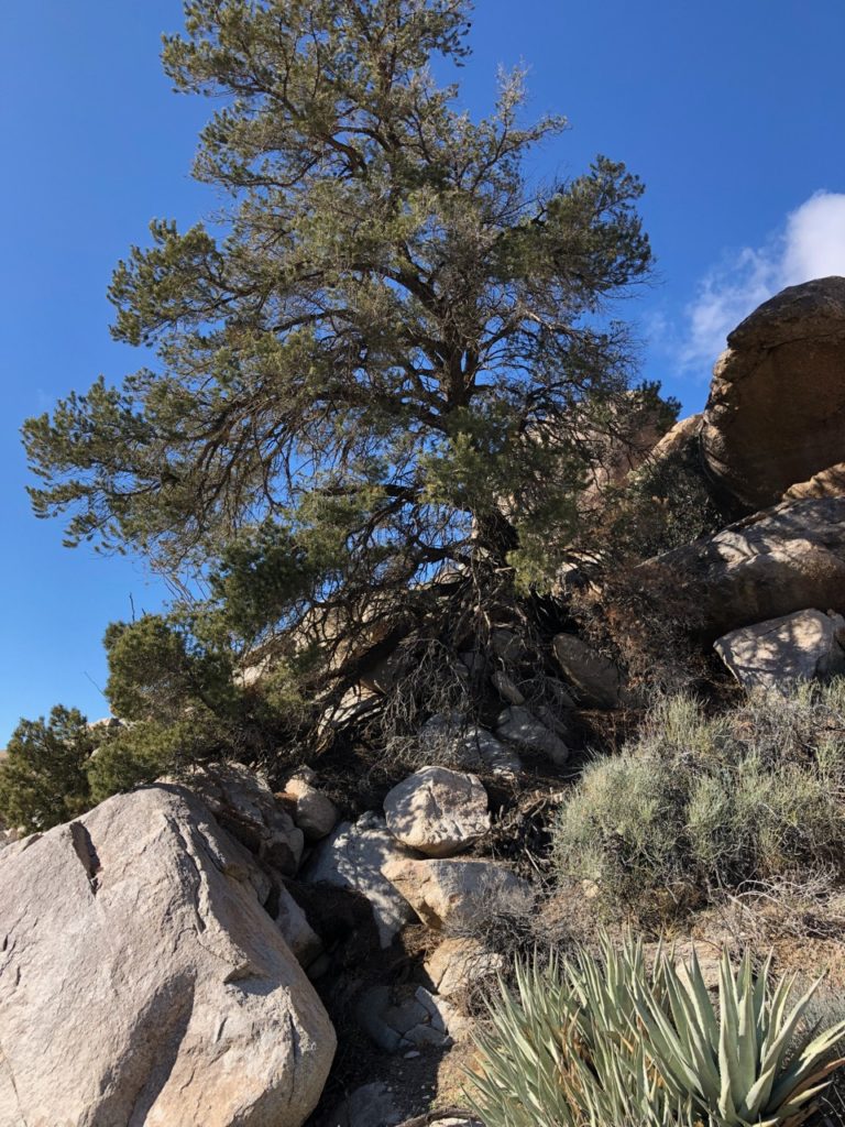
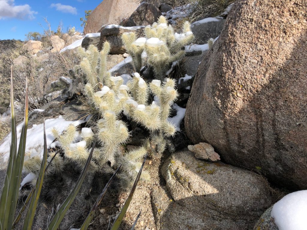
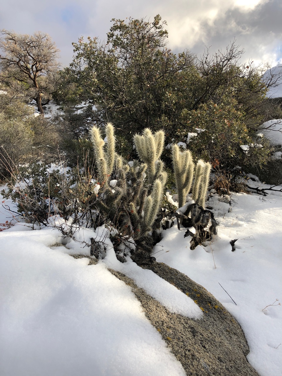
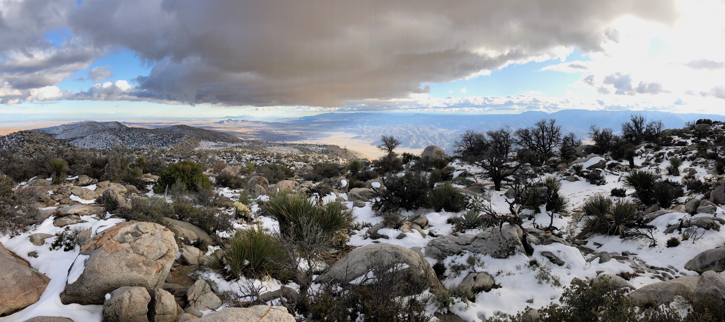
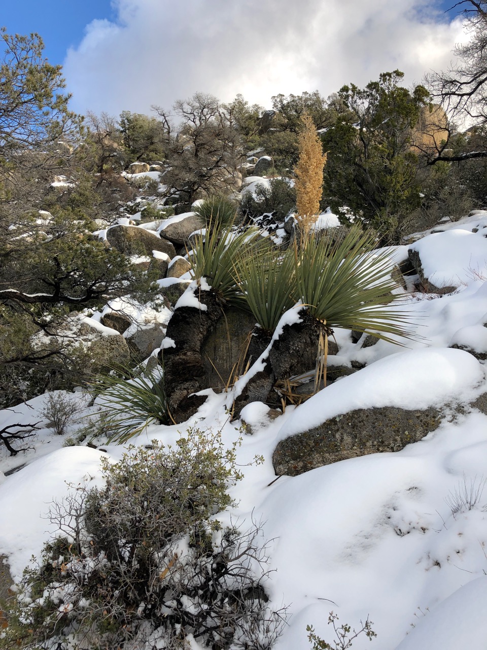
Daylight was burning so needed to get going toward Whale Peak. After a bit of wandering around figured out that the route was up a wash/waterfall to the saddle just below the peak. As the elevation increased, there were signs of changes in ecosystem like pine trees.
I mistakenly headed upslope to the adjacent peak before realizing that I should have gone all the way to the top of the saddle. After a bit of cross country navigating got back on the right route to get to Whale Peak.
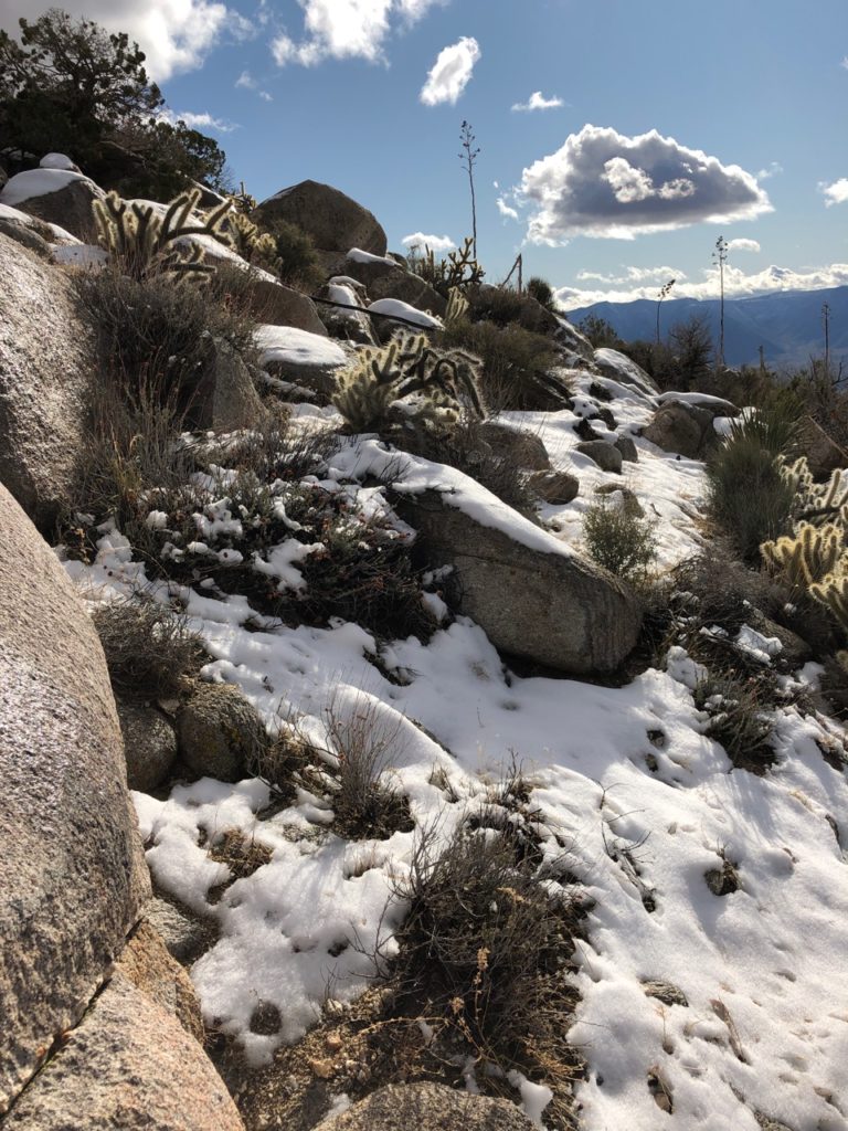
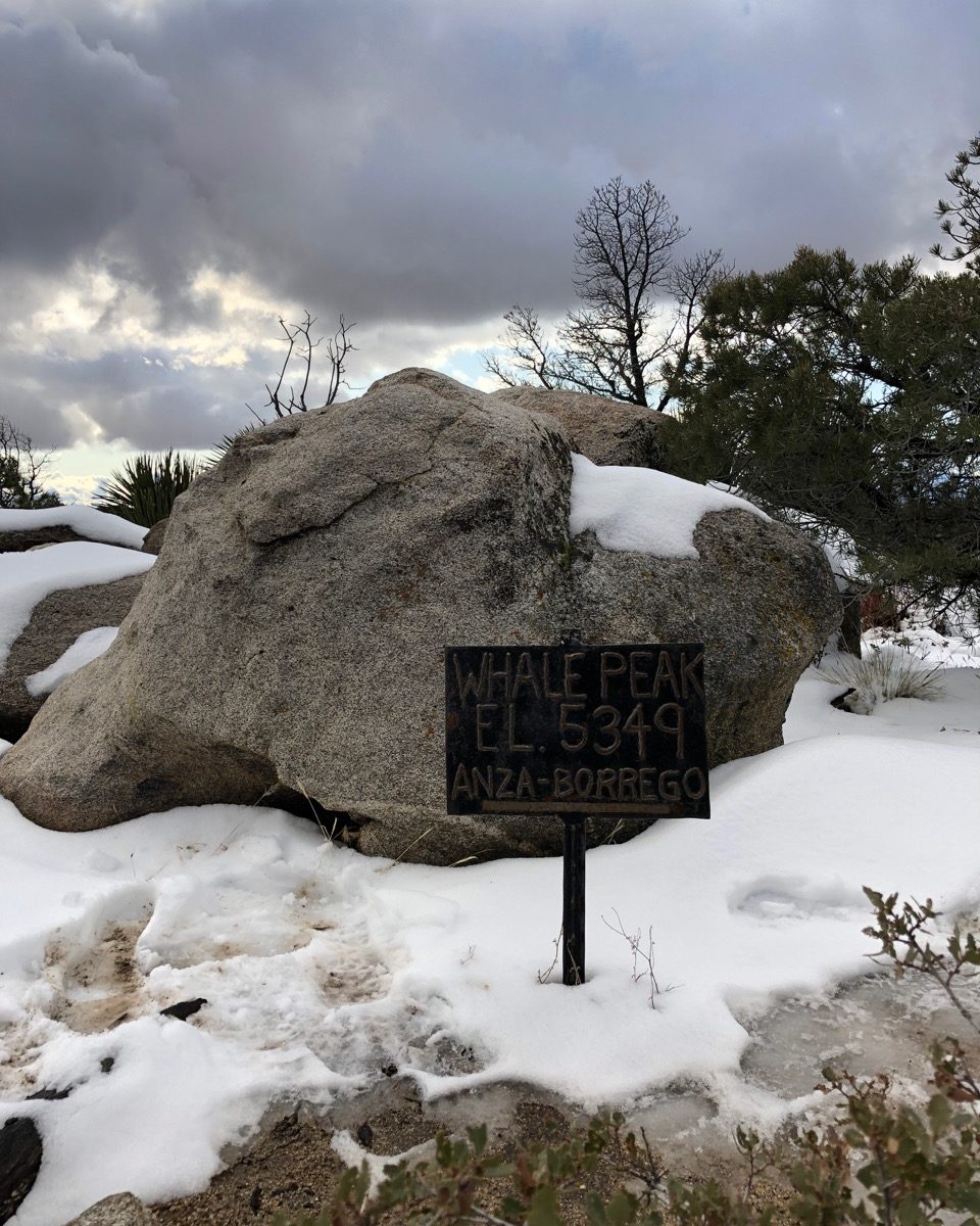
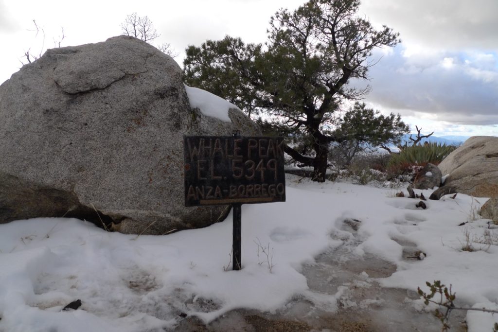
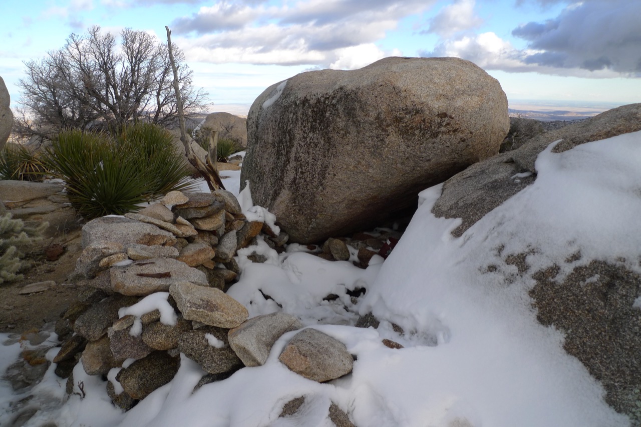
Reached the peak about 3pm and knew it would be smart to get back down the waterfall before it is dark. Following the wash down below I could do in the dark if necessary.
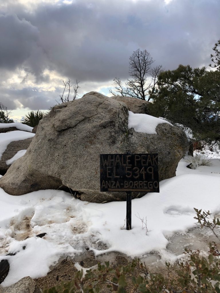


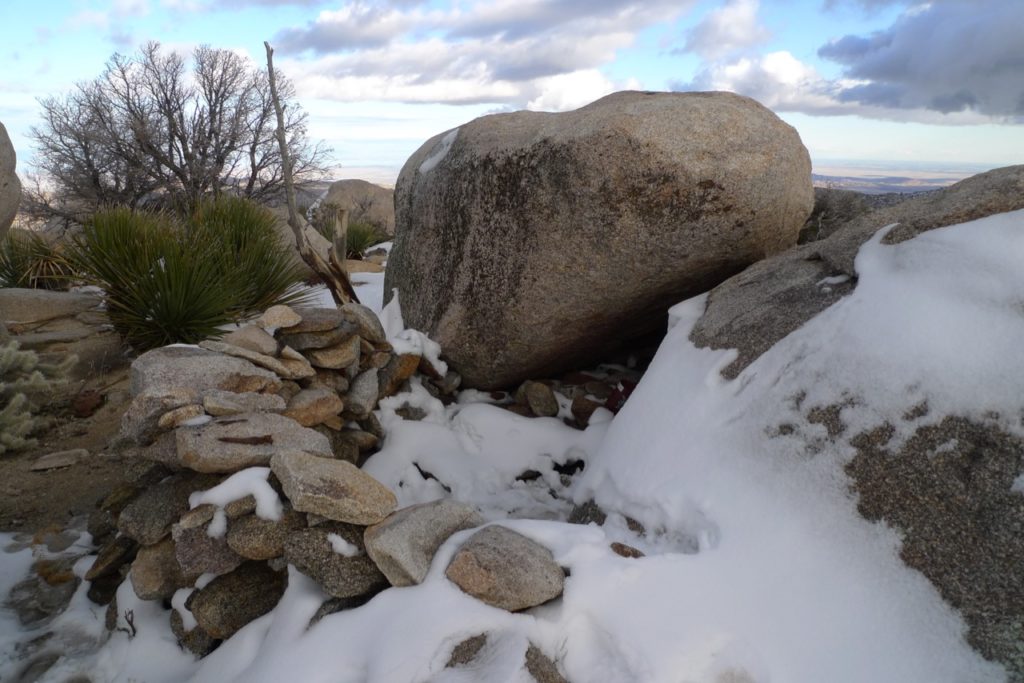
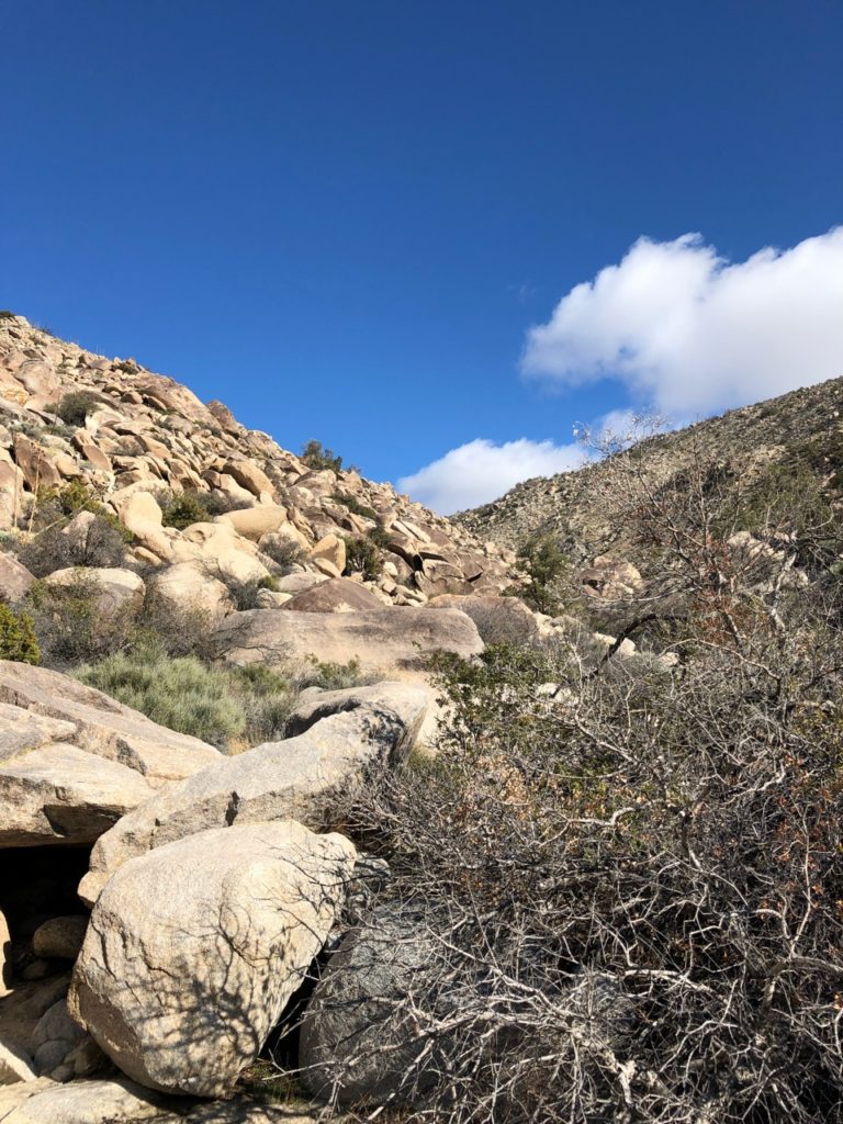
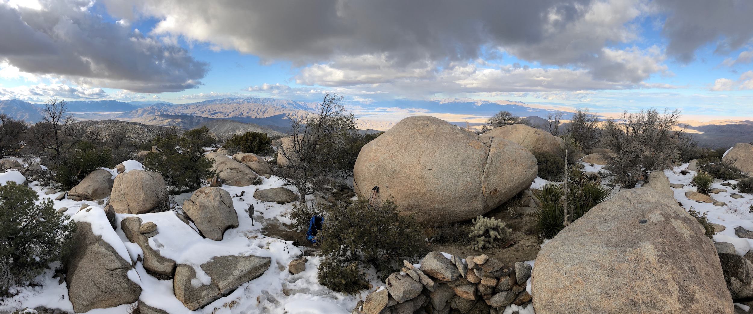
Wind shelter on Whale Peak


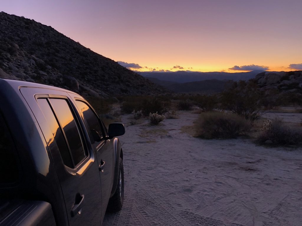
Got back to Smoky about sunset in time to head into Little Blair Valley and look for a camping spot.
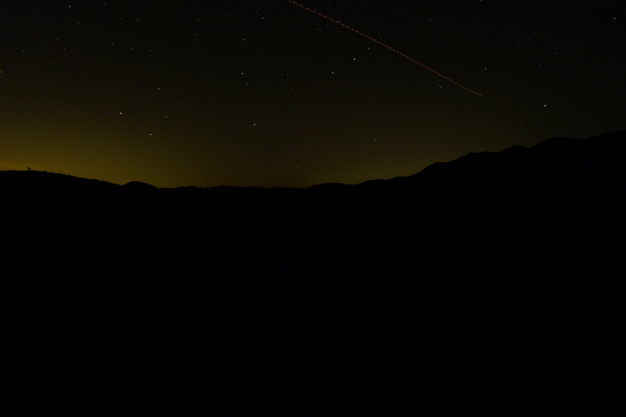
The night sky was really great. Saw so many stars and the Milky Way. Ate dinner and it got cold – really, really cold. Decided to get in sleeping bag and listen to some podcasts.
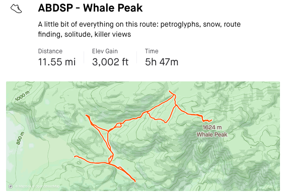
All together this hike was 11.55mi and 3000ft of elevation gain